A wrap-up of posts published on Maven’s Notebook this week …
Note to readers: Sign up for weekly email service and you will receive notification of this post on Friday mornings. Readers on daily email service can add weekly email service by updating their subscription preferences. Click here to sign up!
In California water news this week …
California’s largest reservoir in 50 years gets final approval, could break ground in June
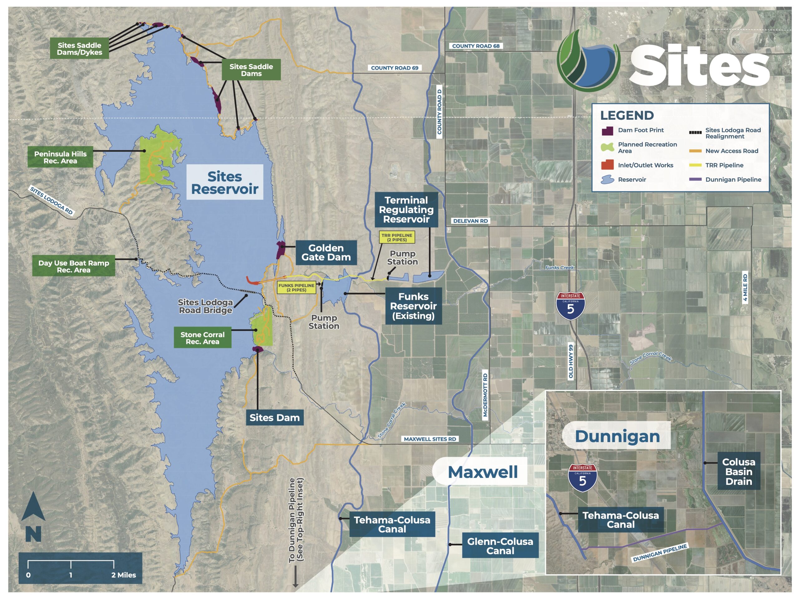
“Construction of California’s largest reservoir in half a century could begin next summer after state water regulators gave the venture the go-ahead Wednesday, a rare breakthrough for big water infrastructure. Supporters of the $6 billion Sites Reservoir, who include Gov. Gavin Newsom, have been pushing the proposal for years — some for decades — saying the water storage project 70 miles northwest of Sacramento will help the state weather chronic droughts. The reservoir would provide water for cities and farms across California, including many in the Bay Area. One of the biggest hurdles for the effort has been winning a water right, which authorizes water for the project, in this case from the Sacramento River. The problem is that most of California’s water is spoken for, and environmentalists and tribes have long protested diverting more river flows from already strained watersheds. Salmon are among the myriad wildlife struggling on the heavily used Sacramento. … ” Read more from the San Francisco Chronicle.
Amid controversy, California greenlights the state’s first large reservoir in decades
“California water regulators have approved a permit for Sites Reservoir, clearing the way for construction of the state’s first new major reservoir in decades. Plans call for two large dams about 300 feet high, as well as nine smaller ones, holding water pumped from the Sacramento River and inundating about 15,000 acres in a valley northwest of Sacramento. After a heated debate, the State Water Resources Control Board voted unanimously late Wednesday to approve the water right permit for the reservoir near the community of Maxwell. “We’re living with more extreme droughts and floods, and a growing need to store water during wet periods. Sites is built for exactly that,” Board Chair E. Joaquin Esquivel said. State officials and managers of water agencies said the $7 billion reservoir will be a critical part of California’s efforts to adapt to climate change. … ” Read more from the LA Times. | Read via Yahoo News.
Ahead of the State Water Board’s consideration of the water rights permit for the Sites Reservoir Project, Maven’s Notebook ran commentaries in favor of and in opposition to the permit
- The time is now: Sites Reservoir can strengthen California’s water future, by Jeff McCreary, Ducks Unlimited; Tim Johnson, California Rice Commission; and David Guy, Northern California Water Association
- Sites Reservoir can help sustain wetlands in the San Joaquin Valley, by Ric Ortega, General Manager of Grassland Water District
- The Sites Reservoir is a bad deal for Californians, by Keiko Mertz, Friends of the River
- For California Indians, the Sites Reservoir project is one more story of cultural genocide, by Chairman Wayne “Rick” Mitchum Jr.
- Massive new California dam project would break Sacramento River, Bay-Delta and wild salmon recovery, by Yvon Chouinard, Gary Wockner and Matt Stoecker at LinkedIn
Water Board adopts major overhaul to state water policy, drawing critics
“California water regulators approved a sweeping, yet controversial plan to manage the use of water in the state’s rivers on Thursday, with the goal of halting the ecological decline of the Sacramento-San Joaquin River Delta. Known as the Bay Delta Plan, the years-in-the-making policy lays out new terms for how much river water can be taken for cities and farms, from the Bay Area to Southern California, so enough is left to flow to the delta, a vast estuary and water supply hub for 30 million people. The plan, backed by Gov. Gavin Newsom, is centered on a novel arrangement that has spurred endless debate: Urban and agricultural water agencies can avoid the strictest of water regulations by agreeing to help restore overburdened rivers. The agreed-upon restoration work is seen as a way to win buy-in for the plan while improving river health, and ultimately the state of the delta. … ” Read more from the San Francisco Chronicle.
Water Board promises Klamath/Trinity River water hearing after protests and testimony from Tribal communities at Bay Delta Plan hearing
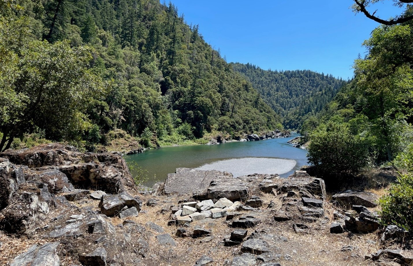
“After hours of debate during an October 29th hearing, the State Water Resources Control Board committed to public scoping hearings on Trinity River water quality and flow issues as part of its Bay Delta Plan Update. The decision followed a fierce debate among board members and testimony from dozens of tribal members who stated that the Bay-Delta process had failed to address potential major impacts on the Klamath-Trinity River system. Most of the Trinity River, the Klamath’s largest tributary, is diverted to the Bay-Delta for use by powerful agribusiness interests. Despite the fact that local tribes and rural communities depend on adequate Trinity flows for survival, the state has very few laws regulating excessive diversions. Commenters said new reservoirs and diversion projects threaten not just Trinity River releases, but also releases necessary for abating Klamath River fish kills. … ” Continue reading this press release.
The Delta in a changing climate: Findings from California’s fifth climate change assessment
 “The Sacramento–San Joaquin Delta is central to California’s water supply, agriculture, ecosystems, and cultural heritage. It provides water to more than 27 million Californians, supports a $4.6 billion agricultural economy, and provides habitat for more than 750 plant and animal species. The region is also highly vulnerable to climate change because land subsidence and its location at the confluence of California’s two largest rivers contribute to greater relative sea-level rise than in the San Francisco Bay Area. California’s Climate Change Assessments are conducted about every five years by government, academic, Tribal, and community partners. Mandated by Senate Bill 1320 and led by the Governor’s Office of Land Use and Climate Innovation, the Fifth Assessment comprises research, data, and tools designed to support climate-related decision-making. Because the statewide assessments do not typically provide a Delta-specific synthesis, the Delta Stewardship Council, Delta Protection Commission, and Delta Conservancy developed a report consolidating information on regional climate impacts and adaptation needs. It examines risks to communities, ecosystems, agriculture, and infrastructure; identifies investment and governance challenges; and supports adaptation planning. … ” Continue reading at Maven’s Notebook.
Atmospheric rivers enter California’s forecast
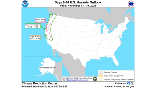 “Chances of heavy precipitation in California have entered next week’s forecast. Atmospheric river activity could bring rain, snow and high winds for roughly the period of Nov. 13-17 to parts of California and the Pacific Northwest, according to the Climate Prediction Center. In California, the greatest risk of significant precipitation is in the north, though it’s too early for forecasters to know exactly where the atmospheric rivers will land. “We know there’s going to be above-average atmospheric river activity over the U.S. West Coast next week, but we’ll hone in on where that will happen as it gets closer to the event,” Deanna Nash, a precipitation and geohazard scientist for the Center for Western Weather and Water Extremes at UC San Diego’s Scripps Institution of Oceanography, told SFGATE. “The signal for those high anomalies is the highest over Washington and Oregon, but other models are showing higher anomalies from Oregon to Northern California.” … ” Read more from SF Gate.
This weekend’s California weather: Enjoy the calm before atmospheric river rainstorm
“Enjoy the wonderful weather this weekend, because it won’t last much longer. This weekend, high temperatures will sit comfortably in the low 70s and upper 60s across Central California, and even into the low 80s for portions of Southern California; all just slightly above average for early November. With mostly sunny skies and light winds, it is the perfect weekend to spend outside, whether it be on the coast or in the mountains. This is all thanks to a weak ridge of high pressure that is setting up over the western U.S. As it sits overhead, skies are cleared and temperatures underneath the ridge will stay slightly above average alongside calm and stable skies. … ” Read more from the Sacramento Bee.
Could El Niño trigger an ‘ARkStorm?’ California’s flood risk explained
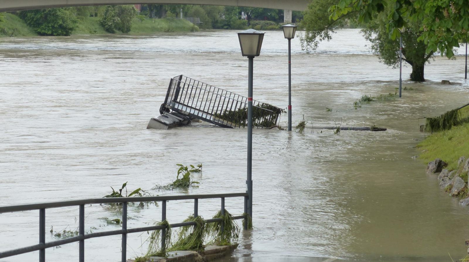 “The rivers in the sky hold the key. The strength, location and duration of atmospheric rivers – ribbons of water vapor that extend thousands of miles from the tropics to the western United States – will be the deciding factor in how much rain and snow falls in California this winter, and whether a disastrous “ARkStorm” flood could conceivably occur, experts told USA TODAY. “Atmospheric rivers are the wild card for this winter,” Scripps Institution of Oceanography research meteorologist Marty Ralph told USA TODAY. “If we get atmospheric rivers back to back, that sets the stage for potential flooding.” The El Niño powering up in the Pacific is prompting fears of a calamitous California winter, with potential flooding of historic proportions. Could it cause an “ARkStorm” scenario? “I am concerned about this winter,” Daniel Swain, a climate scientist with the University of California Agriculture and Natural Resources, told USA TODAY. “Due to the very strong El Niño, the risk of a severe ARkStorm-like flood resulting from weeks of heavy precipitation is more likely in a year like this one.” … ” Read more from USA Today. | Read via Yahoo News.
A super El Niño is here. What does it mean for skiing?
“Godzilla has arrived. A super El Niño is here. What sounds like the plot of a horror movie is actually a forecast for a climate event that is predicted to shatter records and reshape global snowfall patterns this winter. An El Niño results from an intricate interplay between ocean and atmosphere: The temperature of the sea’s surface in the eastern Pacific Ocean near the Equator warms, releases heat and affects the trade winds, which changes global weather patterns. El Niños occur every two to seven years, typically peaking from November to January. For skiers, this year’s powerful El Niño could mean abundant snow in some regions, while large expanses of North America endure warm temperatures, rain or drought. Many skiers have been anxiously watching the predictions and trying to game out where they should go this winter, especially after a disastrous season in much of the West last year. … ” Read more from the New York Times.
PPIC: California’s water financing needs
“PPIC Water Policy Center research fellow Bradley Franklin testified before a joint informational hearing with the Assembly Local Government and Assembly Water, Parks, and Wildlife Committees, “Pay Now or Pay Later: Understanding the Challenges of Water Financing, What Investments Are Necessary, and Exploring Policy Levers for Managing the Cost of Water in the Era of Climate Uncertainty.” … Updating and adapting water systems requires significant investment. The main message of my talk today is that California needs to identify steady and reliable funding sources for water. California has an exceptionally complex water system. Water conditions change dramatically from season to season and year to year. And water supplies must be transported long distances through a highly engineered network. Keeping this system working is costly. California spends over $40 billion a year on water, including water supply, water quality, flood protection, and ecosystems. More than 80 percent of this funding comes from local sources, mostly water and sewer bills. Most of the rest comes from the state, with a small amount from the federal government. … ” Read more from PPIC.
SEE ALSO: Understanding the State’s Role in Funding Water Projects, handout from the LAO
AB 2180 clarifies how California agencies may demonstrate Prop 218 compliance for water, sewer, and solid waste rates
“On September 27, 2026, Governor Newsom signed Assembly Bill 2180 (“AB 2180”) into law. AB 2180 adds Government Code section 53751.5, effective on January 1, 2027, as part of the Proposition 218 (“Prop 218”) Omnibus Implementation Act. In response to uncertainty and litigation over how local agencies demonstrate compliance with Prop 218’s proportionality and cost-of-service requirements for property-related fees, AB 2180 establishes statutory standards and methodologies that clarify how an agency may make that showing, including standardized methods for the equitable allocation of service-related costs. In plain terms, AB 2180 makes it easier for local agencies — such as cities, counties, and water districts — to show that the rates they charge for water, sewer, and trash service are legally compliant. AB 2180 spells out the kinds of data and the cost-allocation methods an agency may use to justify those rates. But AB 2180 does not change the core rule of Prop 218: a property owner cannot be charged more than the cost of serving that owner’s property. … ” Read more from AALRR.
Wildfires increased Feather River water flow
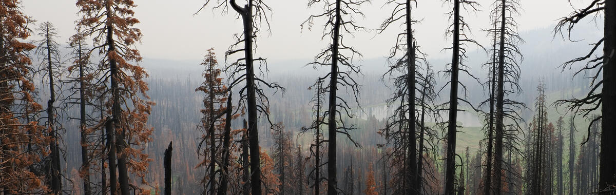 “A new study led by U.S. Geological Survey scientists estimates that the 2020 and 2021 wildfires in northern California increased the amount of water moving through the upper Feather River watershed. With fewer plants using water after the fires, more water stayed in the soil or flowed into streams. The watershed feeds Lake Oroville, which helps supply water to more than 27 million people. The fires that burned parts of Northern California in 2020 and 2021 took lives, destroyed buildings, and hurt air and water quality. A new study led by scientists at the U.S. Geological Survey California Water Science Center looks at another effect of these fires: how they changed the amount of water moving through the upper Feather River watershed. This watershed drains into Lake Oroville, a key part of the State Water Project. The North Complex, Dixie, and Sugar Fires burned more than half of it. Trees and other plants pull water from the soil and release it into the air. After the fires, there were fewer plants using water, so more water stayed in the soil or flowed into streams. The scientists measured this change by running a computer model with and without the fires’ effects on plants. … ” Read more from the USGS.
In commentary this week …
California adopted a new water plan. It’s unlikely to end the state’s water wars
Dan Walters writes, “Gray Davis became governor in 1999 and one of his first acts was to decree that there would be no major changes in water policy for eight years, which he assumed would be his two terms in office. Davis, a veteran politician who had climbed the political ladder one rung at a time, was well aware of the decades-long stalemate on the fundamental issue of how water should be apportioned between farmers and flows to support fish and other wildlife. He was also notoriously averse to political conflict and didn’t want what had been dubbed “water wars” to be rekindled during his governorship. Davis was recalled five years later and the conflict continued after his departure. During Jerry Brown’s second stint as governor, from 2011 to 2019, he embraced the concept of “voluntary agreements.” If farmers would reduce diversions from the Sacramento and San Joaquin rivers and their tributaries, they could avoid the mandatory cutbacks that environmental groups and their allies favored. … ” Read more from Dan Walters.
New Bay-Delta rules highlight state’s slow water progress
Steven Greenhut, director of the Pacific Research Institute’s Free Cities Center, writes, “If you turn a map of California on its side with the Nevada border to the north, you’ll notice a low-lying area where nearly half of the water from the Sierra Nevada Mountains drains before it heads to the San Francisco Bay and then to the Pacific Ocean. That is the Sacramento-San Joaquin Delta. It’s the West Coast’s largest estuary, an enchanting ecosystem of rivers, historic small towns and orchards. Per state estimates, the area’s overall watershed “drinking and municipal water to nearly 30 million people irrigation water” and “for 4 million acres of farmland.” It’s also Ground Zero for California’s long-running water wars given its significance in divvying up the state’s scarcest resource. The mighty Sacramento River runs south into the Delta, then gets tangled in a maze of wetlands, tributaries and sloughs before its water is pumped to farms in the San Joaquin Valley. The latest political tussle involves overhauling the water-management rules in the area, via something known as the Bay-Delta plan. It was last updated 31 years ago. The California Water Resources Control Board last week voted 4-1 to approve a new plan which, per Politico, “will trade billions of dollars in habitat restoration for greater water flexibility for farms and cities in the sensitive Bay-Delta region.” As economist Thomas Sowell once quipped, “There are no solutions. There are only tradeoffs.” This plan seems to recognize that reality. … ” Read more from the Pacific Research Institute.
Trump’s latest Clean Water Act proposal would strip federal protections from most California streams
Sean Bothwell, executive director of California Coastkeeper Alliance, writes, “In September, the Trump administration’s EPA and Army Corps of Engineers proposed a new definition of “waters of the United States,” known as WOTUS. The new rule severely limits which waterways can receive Clean Water Act protections under the new proposed definition. As proposed, a stream will only receive protection under the Clean Water Act if it holds water almost every day of the year. In California, where dry streambeds in summer are normal, that test means most streams will lose Clean Water Act protections. Only 9% of California’s will remain protected under the Clean Water Act, according to an analysis of the National Hydrography Dataset. Seasonal creeks, desert washes, snowmelt-fed mountain streams, vernal pools, and wetlands separated from a river by a levee or road would all lose federal protection under the Trump proposal. The rule includes specific parameters that are likely to further limit the number of creeks and streams that will continue to enjoy Clean Water Act protections. … ” Read more from City Watch LA.
In regional water news this week …
A weather model ran 51 forecasts. All pointed to the same thing for San Francisco’s winter
“The polls have closed on the latest seasonal outlook for California, and the results are unanimous. All 51 forecasts of one of the world’s leading seasonal models call for a wetter-than-normal December through March in the San Francisco area, with the average forecast at about 26 inches of rain, nearly double the normal. The forecasts, released Thursday by the European Centre for Medium-Range Weather Forecasts, also anticipate a wetter than normal winter for cities up and down the state amid the extremely strong El Niño. They aren’t unanimous that every city will be above normal, but the trend line is clearly there — and they were unanimous for San Jose, Paso Robles, Santa Barbara and San Diego, in addition to San Francisco. When all 51 forecasts land in the same place, it is considered a mark of unusually high confidence. … ” Read more from the San Francisco Chronicle.
Rising tides and shifting habitats: Modeling the future of Morro Bay’s tidal marsh
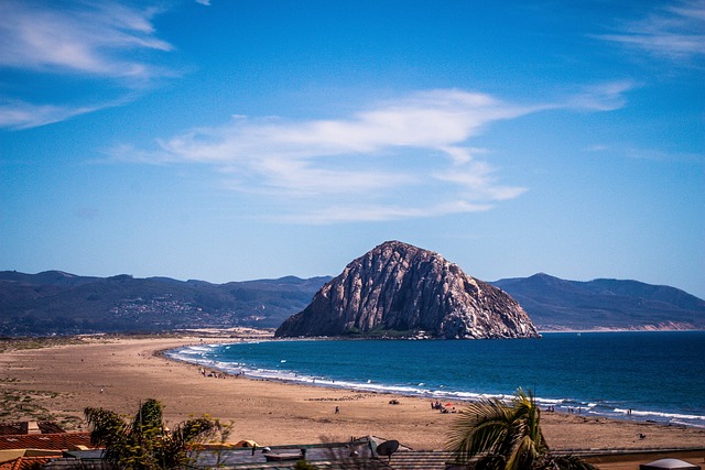 “The Morro Bay estuary supports a rich network of marshes, eelgrass beds, mudflats, and dunes that provide essential habitat while also supporting fisheries, recreation, and protection of coastal communities. Rising seas pose a growing threat to the estuary with projections of more than three feet of sea level rise (SLR) by 2100. To better understand the risk of SLR, the Estuary Program partnered with the U.S. Geological Survey (USGS) on a two-year habitat vulnerability study. The Estuary Program and USGS collected robust field data and developed a hydrodynamic model, WARMER-Coast, to assess how marshes and adjacent habitats may respond to various sea level rise rates and sediment scenarios. The study aimed to estimate future SLR rates, identify areas and timing of predicted habitat change, and evaluate potential management actions to support habitat resilience. In addition to a formal report, Estuary Program and project partners created an interactive StoryMap communication tool in both English and Spanish to summarize the results. … ” Read more from the Morro Bay National Estuary Program.
Securing the future of California dairy forage production is critical to protecting rural communities
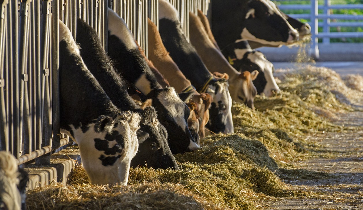 “For dairy farm families, animal feed is a critical part of their work to ensure optimal cow care, produce more nutritious milk using fewer resources, and make sure their farms remain economically sustainable. Animal feed comprises about 60 percent of a California dairy farm’s operational costs. Dairy farmers and their nutritionists work hard to ensure cows receive balanced meals each and every day. Forage production is an increasingly challenging yet critically important part of a California dairy farm’s resiliency. California dairy cow rations include a mixture of crops grown at the dairy (primarily corn and cereal silages), imported grains, and locally available byproducts from other crops. There are many reasons why California dairy farmers produce their own silage, which is a fermented form of plants that is high in moisture and nutrition. To make silage, the entire plant (stalk, husk, and kernels) is harvested while still green, chopped into pieces, and stored in airtight conditions. Minimizing transportation of the high-moisture feed is critical to both feed quality and farm economics. Importantly, growing feed on nearby fields is how dairies recycle manure nutrients and water. … ” Read more from Valley Ag Voice.
Kings River may have more than 1 million acre feet up for grabs
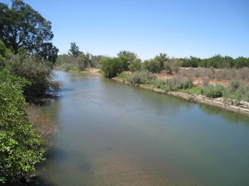 “The state’s water rights office says there is excess water – up to 1.13 million acre feet – going unused on the Kings River, which could open the system to a flood of water seekers. The Administrative Hearing Office (AHO) will hold a hearing Jan. 19, 2027 to delve into whether the Water Resources Control Board should revoke the 1967 “fully appropriated stream” designation on the Kings River. If that happens, it would open the river to new water permit applications, according to the AHO’s hearing notice. This all stems from a legal fight that started in 2017 when the the Semitropic Water Storage District in Kern County filed an application for Kings River flood flows. Longtime Kings River districts, including the Consolidated, Alta and Fresno irrigation districts also filed a joint application. And the McMullin Area Groundwater Agency filed one a few years later. Applicants had been battling it out through various AHO proceedings, with the last one held in 2024. … ” Read more from SJV Water.
Valley flood protection still a hodgepodge, leaving bald spots and confusion
“When it comes to how prepared San Joaquin Valley communities are for potential El Niño-fueled flooding, it’s down to three things: location, location and location. In the Fresno area, for instance, the Fresno Metropolitan Flood Control District has a robust system that’s “ready to go,” according to Assistant General Manager Brent Sunamoto. The district funnels excess water through a series of storm drains and into sumps. As those systems fill, it can also move water through Fresno Irrigation District (FID) canals into FID recharge facilities. “When the basins fill up too high, we could go and flip a switch and turn a pump on and basins will pump that water into the FID canal,” Sunamoto said. … ” Read more from SJV Water.
Research article: Farm ownership in the San Joaquin Valley highlights different capacities to adapt to changing groundwater regulations
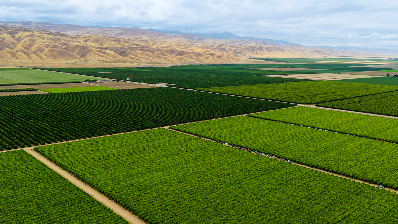 “California’s San Joaquin Valley is home to some of the nation’s most productive farmland. Yet, this agricultural productivity has been achieved through unsustainable groundwater use to support irrigation. The Sustainable Groundwater Management Act (SGMA) seeks to address the negative consequences of groundwater overdraft and requires cutbacks in pumping, most notably in 21 critically overdrafted basins, 11 of which are in the San Joaquin Valley. On the pathway towards groundwater sustainability, concern about disproportionate impacts of pumping cutbacks on smaller and less-resourced farms has prompted a closer look at water resources and vulnerability across farm size. In this paper we use county assessor records and other publicly available data to examine how characteristics such as surface water availability, crop type, and economic productivity intersect with farm size in the San Joaquin Valley. We found that small farms (less than 100 acres) make up about three-quarters of farms by count, yet only about 15% by acreage. Medium (100–499 acres) and large (500+ acres) farms had high proportions of field and grain crops, corn, and processing vegetables, while small farms grew more tree crops, vineyards, and irrigated pasture. Notably, small farms tended to be located in areas with higher-than-average surface water availability, with about 30% more deliveries per acre on average compared to areas where large farms were located. Lastly, we examined the potential local water supply impacts of providing preferential groundwater allocations to rural water systems and small farms. While smaller farms face poor inclusion in SGMA planning and implementation efforts, we identify several characteristics that may help them adapt. … ” Read this research article from UC Ag and Natural Resources.
Without diversions, Mono would be rising
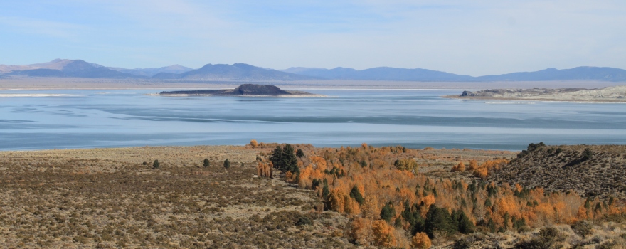 “Los Angeles has multiple sources of water, with some local sources funded specifically to offset Mono Basin diversions. Mono Lake, on the other hand, has no additional sources of water other than runoff and precipitation. When the Los Angeles Department of Water & Power (DWP) takes Mono Basin water instead of using the local sources to which it has access, it slows down Mono Lake’s rise, degrading and threatening the Mono Basin ecosystem. When Mono Lake’s level is steady, it means that inflows are balanced with evaporation. But to reach its required management level of 6,392 feet above sea level—ten feet higher than it is now—Mono Lake needs an additional 450,000 acre-feet of water. In other words, inflows must exceed evaporation by that much water to raise the lake. If spread across 20 years, that would be an additional 23,000 acre-feet per year with an average rise of about half a foot each year. … ” Read more from the Mono Lake Committee.
A beginner’s guide to understanding the Super El Niño in Southern California
“October’s storms announced that El Niño has arrived in Southern California. Now, Southern California is bracing for the impending Super El Niño expected to bring above-average rainfall to the area. The climate pattern is nothing new for residents, but forecasts are pointing to a potentially record-breaking storm season. Here’s what to know about the upcoming season. El Niño occurs naturally every two to seven years when temperatures in the eastern tropical Pacific Ocean rise at least 0.5 degrees Celsius (0.9 degrees Fahrenheit) above average for several months, according to the National Oceanic and Atmospheric Administration. At the same time, trade winds that usually push warm water from east to west weaken. This leads to a buildup of warm water in the tropical Pacific. … ” Read more from the LA Daily News.
El Niño rains increase flood risk at Lake Hodges, home of California’s most dangerous dam
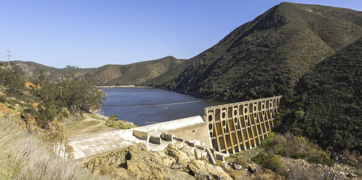
“San Diego’s Lake Hodges already has an “extremely high” flood risk. Regulators fear a dam breach would cause “considerable loss of human life” where more than 1,000 people live. But as El Niño threatens torrential rain this winter, the downstream danger could be even greater. An October state audit painted a bleak picture of California’s dams ahead of expected heavy rain this winter, and called on the Legislature to increase the state Department of Water Resources’ enforcement authority and require new emergency action plans from dam owners. The 108-year-old Lake Hodges Dam in northeastern San Diego County is the most at-risk among more than 1,200 monitored by the California Department of Water Resources’ Division of Safety of Dams. It is the only one labeled “unsatisfactory,” meaning it requires immediate or emergency action. … ” Read more from iNewsSource.
‘The pollution hides itself’: Tijuana River sewage travels underwater to La Jolla, study finds
“The sewage-tainted water from the Tijuana River is traveling further north than previously suspected, suggesting communities beyond Imperial Beach may face potential health risks, according to a new study. University of California Riverside researchers, in cooperation with scientists from University of California San Diego’s Scripps Institution of Oceanography, discovered that the polluted water from the U.S.-Mexico border can flow roughly 22 miles up the San Diego County coast before releasing pollutants in the air near the pier at Scripps in La Jolla. The study, published in the journal Scientific Reports, found that wastewater chemicals unable to survive that distance in the air instead remained in the ocean. Currents then carried them north before they escaped into the atmosphere near the pier. … ” Read more from the San Diego Union-Tribune.
California faces an uncertain Colorado River future
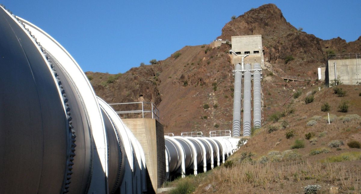
“The Colorado River may not be the first river Californians think of, but it is vital to Southern California’s water supply and farms in the state’s southeastern corner. At the California Water Commission’s October meeting, Jessica Neuwerth, executive director of the Colorado River Board of California, outlined the state’s stake in the river, the challenges facing its management, and the decisions that will shape California’s water future. Established by statute in 1937, the Colorado River Board of California is a small state agency charged with protecting California’s rights and interests in Colorado River resources. … A central responsibility of the Colorado River Board is representing California in interstate and federal discussions. The board chair serves as the governor’s representative in the Colorado River governance structure, which includes one representative from each basin state. The board and its chair coordinate California’s varied interests and priorities, then represent them in meetings and negotiations with other basin states and the federal government. The current chair is John B. Hamby of the Imperial Irrigation District. … ” Read the full article at Maven’s Notebook.