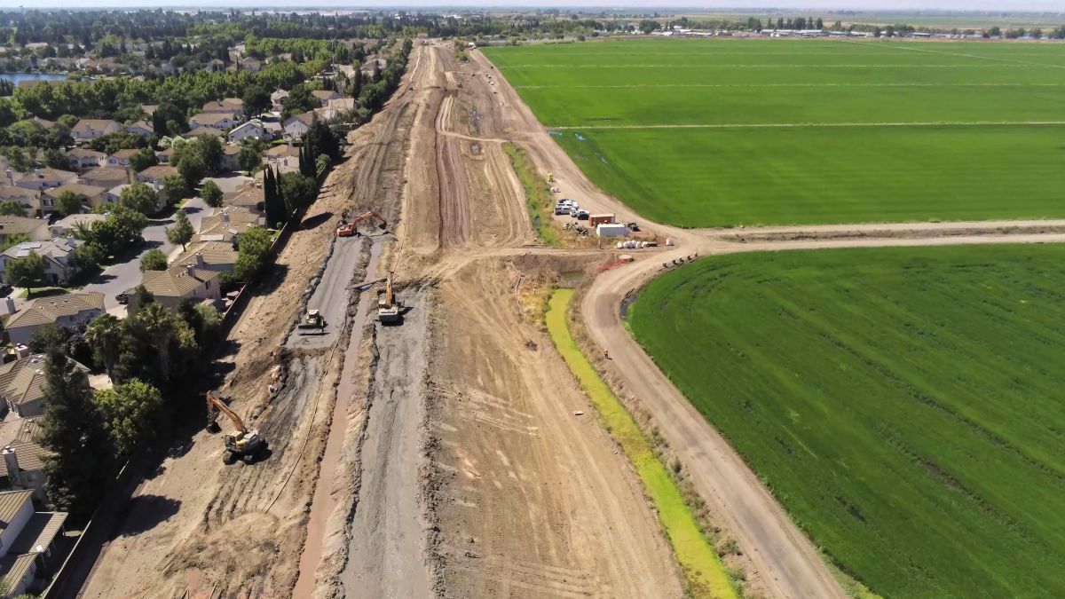
Lower San Joaquin River Project strengthens levees to reduce flood risk near Stockton, California
By the Army Corps of Engineers
Why strengthen a levee when there is no water in sight? Because a levee is not built for a normal day. It’s built for the day the water rises.
During a major flood, water can spread into areas that are normally dry, threatening neighborhoods, businesses, roads and critical infrastructure in and around Stockton, California.
Through the Lower San Joaquin River Project, the U.S. Army Corps of Engineers Sacramento District is improving levees to reduce that flood risk before high water arrives.
Addressing Seepage, Stability and Erosion
Levees can have weaknesses that are not obvious when conditions are dry. Floodwater can seep through a levee or push underneath it. High water can erode its surface, and some sections need reshaping and strengthening to improve stability.
USACE is addressing these vulnerabilities with improvements such as underground cutoff walls to block seepage, levee reshaping to improve stability, and rock protection to resist erosion.
At Tenmile Slough, these methods are being used to strengthen about a mile of levee as part of the larger project.
Part of a Larger Effort
The Lower San Joaquin River Project will improve approximately 23 miles of levees and add two closure structures around north and central Stockton.
Together, these improvements are designed to reduce flood risk across the area, not just at one location.
When the next major flood comes, the time to strengthen these levees will already be over. That is why the work is being done now.